Southeast Face of Mt. Emerson

Overview
Continuing my trend of writing up some posts now that I am resting post-surgery... Back on June 18, 2022 Julie Jung and I scrambled up the southeast face of Mt. Emerson for a beautiful day on one of the Sierra's most approachable big mountains.
Mt. Emerson provides a decent size route, with one of the shortest approaches in a range known for long approaches. We clocked just under 3 miles to the base of the climb on this one. The route goes at mid fifth class, with a classic loose scree descent.
Weather, Clothing, Food
We had battled crappy high-wind weather reports all week, so when the day showed wind gusts in the upper 30 mphs we were ready to go. The forecast for the summit was around 43 F. We packed some extra clothes and got a leisurely start. The wind up high ended up being nerve wracking but not too crazy.
I took Arcteryx Norvan SL shoes for the trail and wore my comfy rock climbing shoes for the entire climb. I think this was unnecessary for most of the climb but helped me move much faster in a few spots, and the SL shoes don't weigh much so I was happy with this choice. Julie brought approach shoes (as I suspect most people do) and was likewise happy with that choice.
I took a sun shirt, windbreaker (OR Helium), and puffy (Mountain Hardware Ghost Whisperer) and used them all on the windy and chilly summit ridge. Maybe I could have gone with one less layer if we were really moving. I did bring a softshell and stash it on the trail on the way up, and did not regret that decision.
I ate 2 welches fruit snacks, a poptart, a peanut butter cup, and two gels for around 1000 calories. I definitely wished I had a little more but I wasn't too hungry on the way down.
Splits
We started out at 8:34 AM, finishing at 3:14 PM, for 6 hours and 40 minutes out. Our total gain was 3,742 feet over 7.28 miles.
- Approach to the base - 1h
- The base to the summit ridge - 2h
- The summit ridge to the summit - 1h
- Descent point from the summit - 30m
- Descent down to Loch Leven/trail - 1h30m
- Trail back to the car - 40m

Trip Report
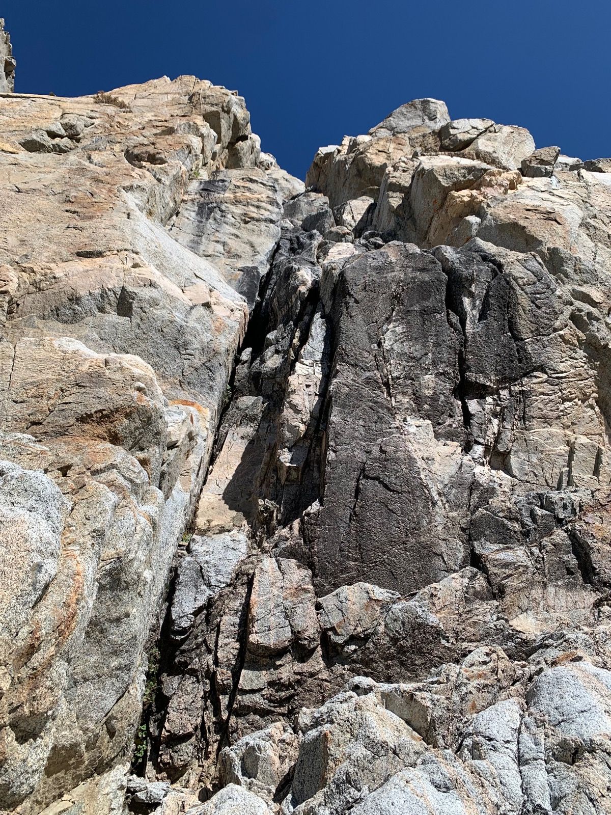
The approach was straightforward. You can see the obvious black water streaked chimney that marks the start from the trail before cutting across some talus to reach the base.
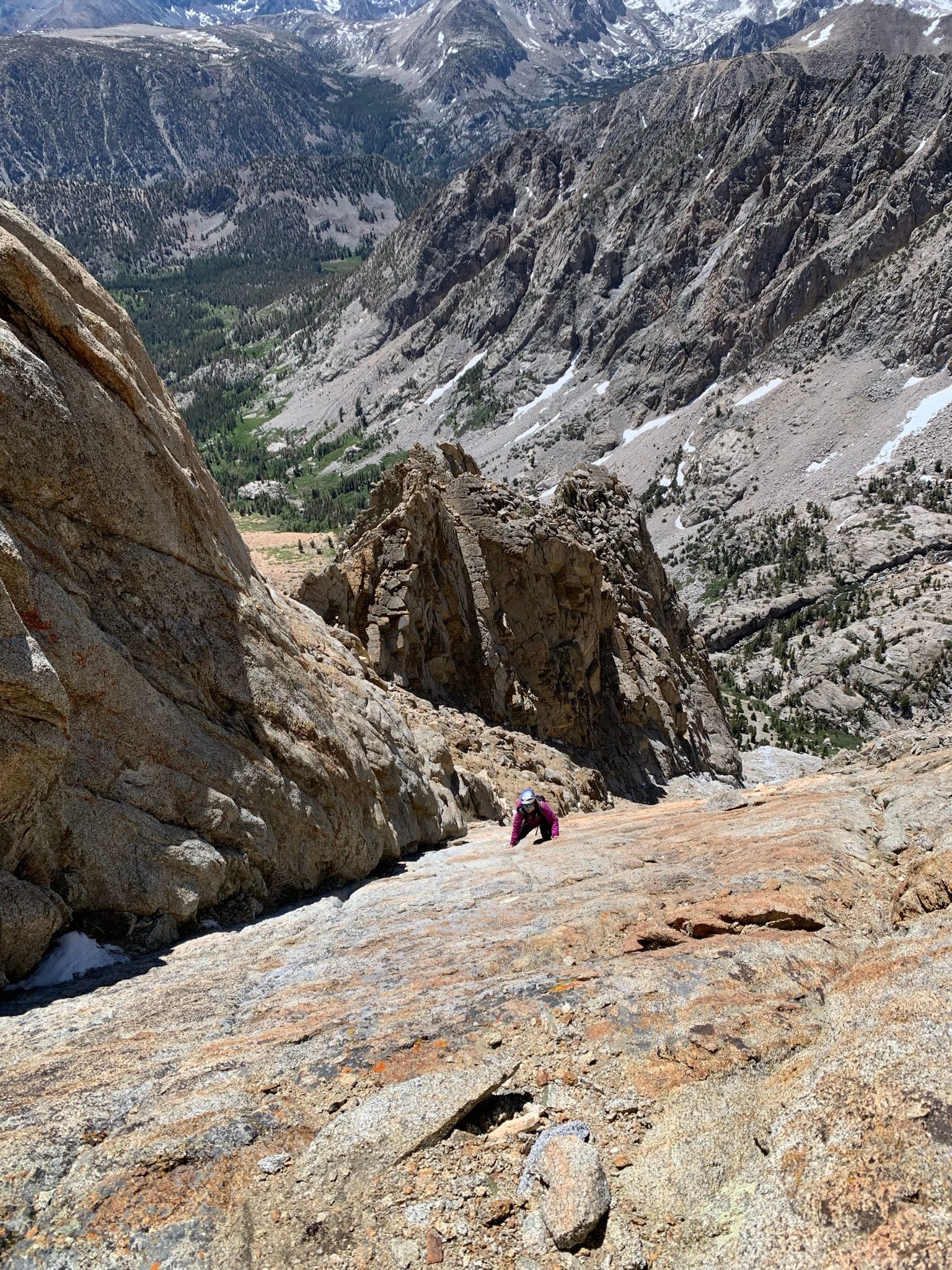
The first few hundred feet were water polished 5.5-5.7 until hitting some slabs higher up. From there it was mostly fourth class, hitting another short chimney section between slabs.
At some point you're supposed to cross over a rib into another gully. We did this (and the rock on the crossover was pretty rotten), but think we may have been too low or needed to cross over something else. We felt like we reached the summit ridge a tad to the east. It all worked out fine, but there was some map squinting.

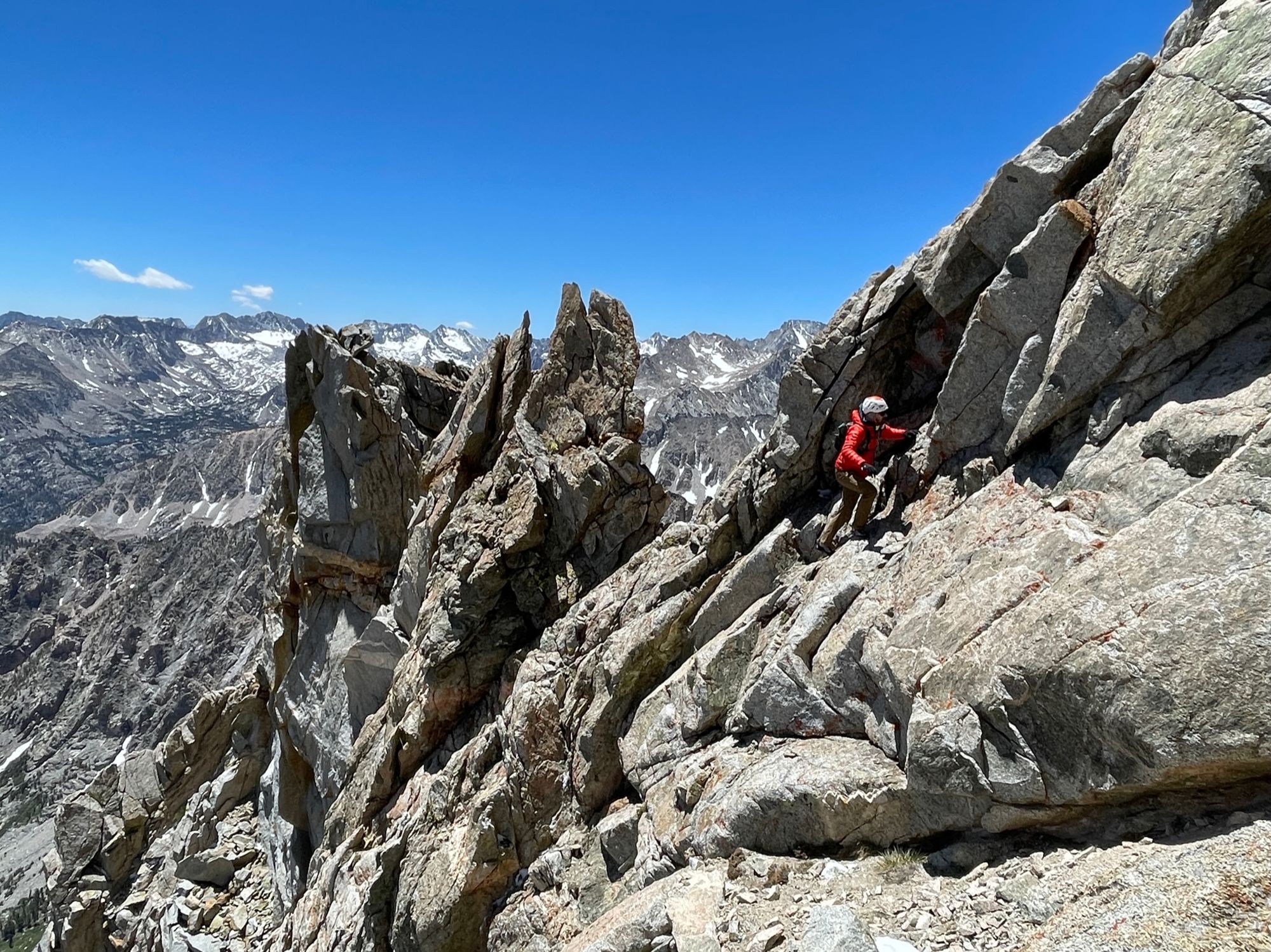
We traversed onto the summit ridge from behind Julie and to the left in the picture below, skirting the large spire. The summit ridge was windy and cold but had amazing exposure. It felt low-mid fifth class in most sections, with one section after the summit that had a very exposed 5.8 ish downclimb. We could find no way around this, and it was right at the notch where we wanted to start our descent.


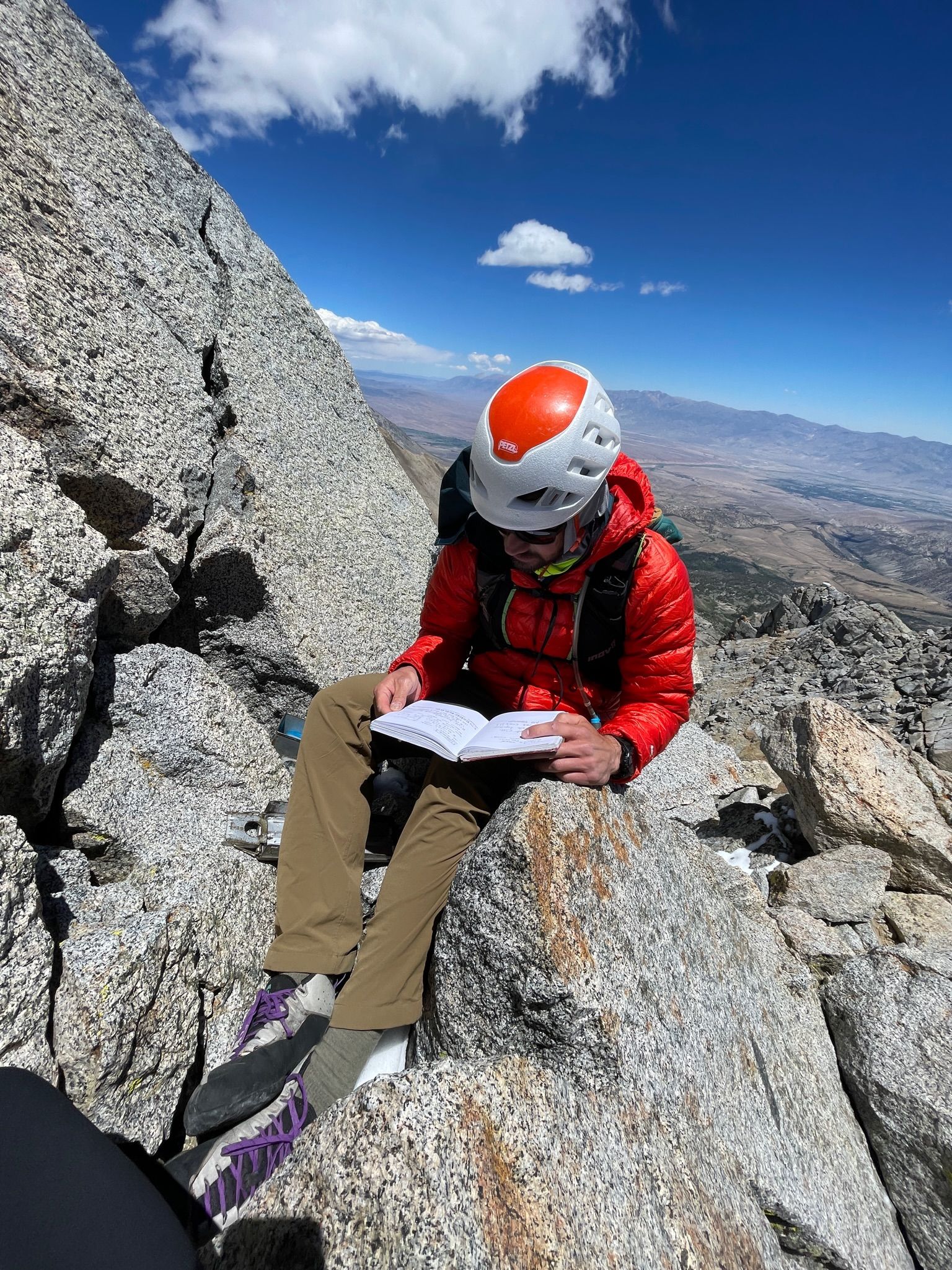
After the summit, you continue along the ridge a ways until a suitable descent to the south comes up. We scoped out a few gullies but they were hard to drop into. We finally found a good one and made our way down the loose stuff.
All in all, this was a super fun day out and I'd definitely do it again. The Sierras have some amazing routes, but they are often far from the car. Having this one right near the road was really cool.
